I met Earth and Sky in Yuma.
Below is an excerpt from a time when I studied with two Native Americans. Gabe Sharp (aka Running Water) was a college professor with Arizona State University and a social worker at the Quechan Indian Reservation in nearby Winterhaven. Louise Etienne, his wife, was an artist and teacher known as Sundance Aquero. Gabe was born on the Mohave reservation in Parker, Arizona and Sundance was born in Montreal to a French mother and Mohawk father.
They offered workshops to individuals and groups about indigenous worldviews and tribal history. I had always been curious about Native Americans because our family includes a part Cherokee relative in my mother’s lineage. (For readers, my last name, Feathers, is Scotch-Irish.)
During my formal education, there was practically no information or simply wrong information about Native Americans in the U.S.A’s formation and history. I did not encounter the abundance of printed material from tribal nations until I became an environmental educator as my teaching career blossomed to new venues.
Science was my way of knowing, partly because my father was a big influence on me. He studied physics and loved all the sciences which he shared with me as I grew up. I knew about water cycles, turnover of matter, population dynamics, biodiversity, etc. but something about the sacred nature of God’s creation was missing from this way of knowing. Gradually, I turned to indigenous perspectives about living on the land as it was abundantly obvious to me that our capitalist values about land, water, sky and people could plunder a landscape when it exceeded some internal set of rules which I now understand to be species relationships described by Robin Wall Kimmerer as reciprocity, i.e. give and take that observes the limits of a particular place to maintain its healthy and enduring function. One of my favorite and most insightful American conservationists about the ethics of living well on a piece of land—Aldo Leopold—described the essential dichotomy between European and Indigenous perspectives:
Conservation is getting nowhere because it is incompatible with our Abrahamic concept of land. We abuse land because we believe it is a commodity belonging to us. When we see land to be a community to which we belong, we may begin to use it with love and respect. ~from A Sand County Almanac, Foreward, Oxford University Press, Special Commemorative Edition, 1989.
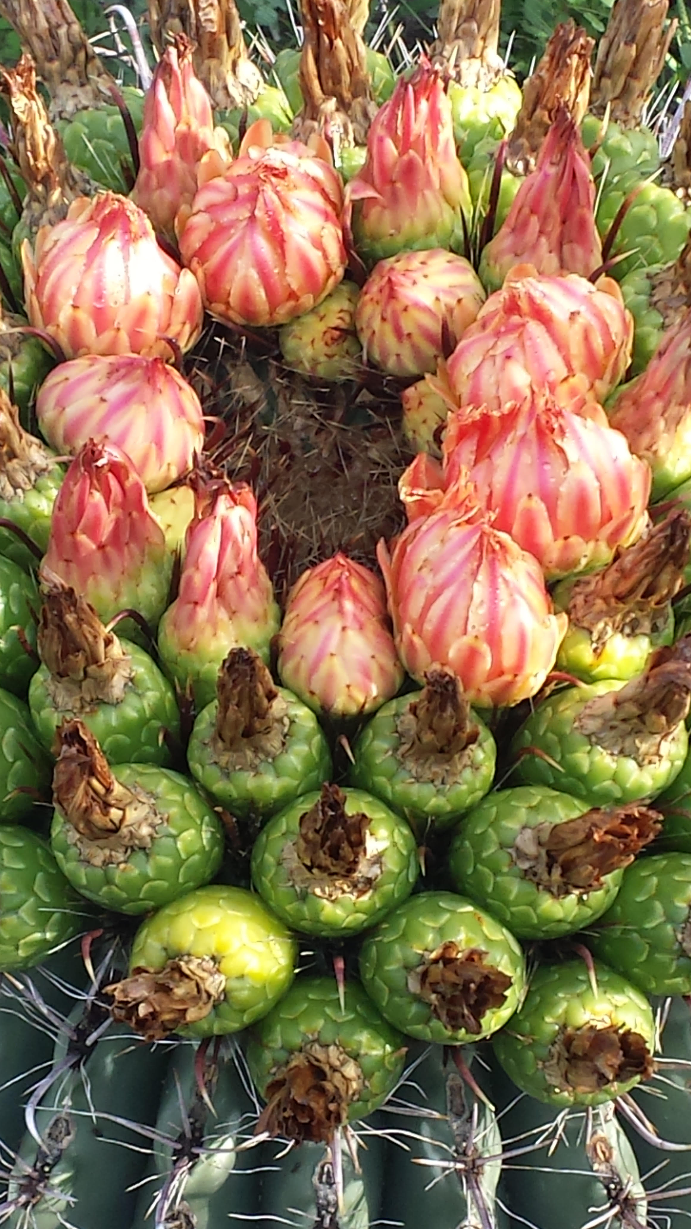
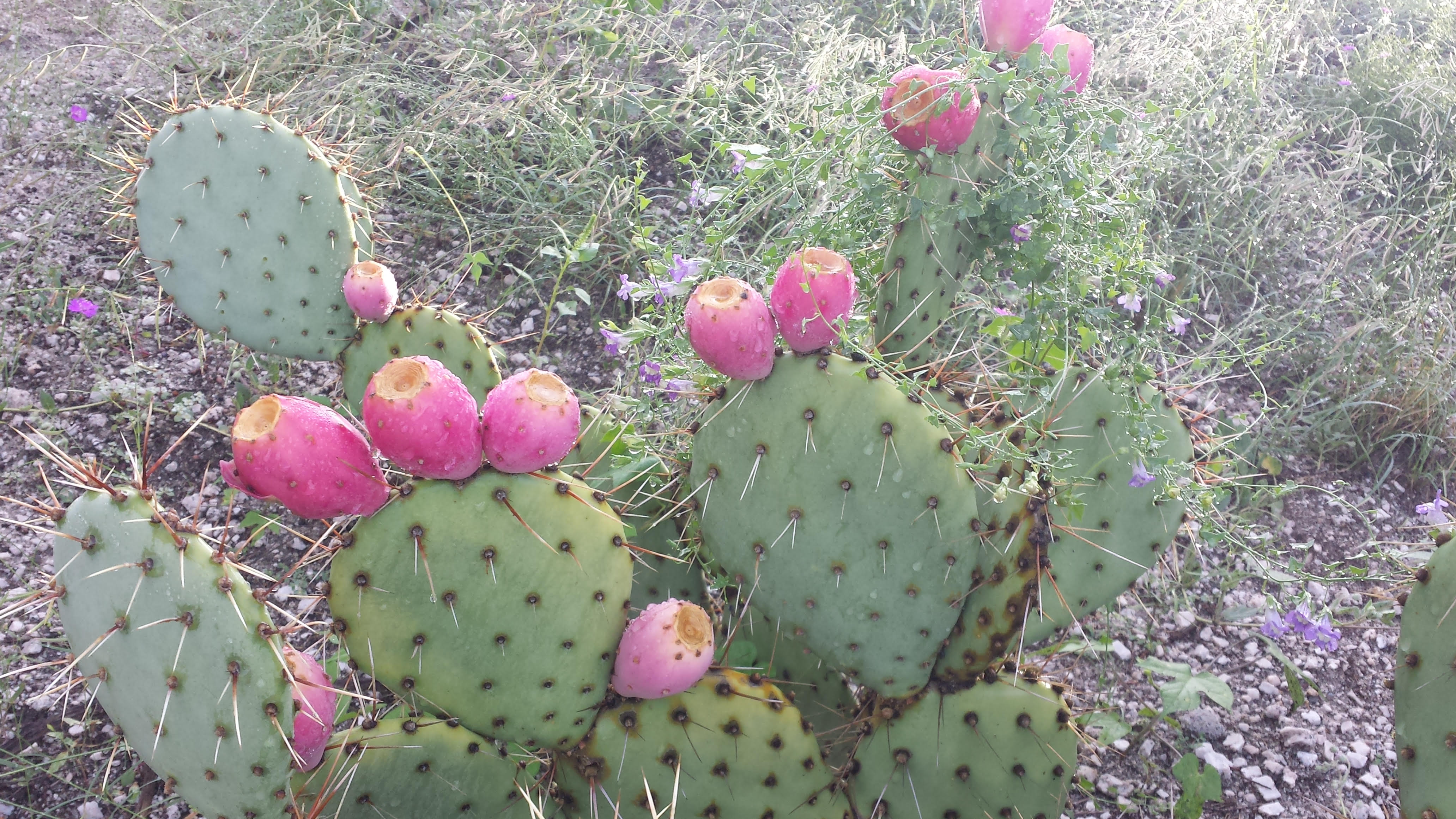
But in 1990, I had yet to read Leopold’s great works. I just knew something was essentially wrong and out of balance about how we used Nature for profit. I’d personally witnessed the decapitation of mountains for mining coal in Appalachia, my home, and living near the Colorado River and Imperial Valley were living proof logic was not an underlying principle for intelligent use of our natural resources in the U.S.
Below are excerpt’s from a memoir, The Little Book of Wisdom, unpublished but under copyright law.
When I began my exploration of truth and justice with indigenous people, I began by examining the nature of these principles in my own life. This is the story of how I came to face the truth about my life and discover the true nature of Western culture as reflected by contemporary Native Americans whose nations had lived in North America for thousands of years. What I came to see first revealed itself in the English language. My teachers brought out a huge dictionary in my mother tongue as the first text in ultimately four years of intense study.
With guidance I first studied how my culture expresses dominance in its language, inherited from empires. After instituting values of equality and justice before the law, our government has preferentially applied them in practice. I kept a little notebook of this study which I gave to my teachers.
Next, they suggested I read three books: Basic Call to Consciousness, God is Red, and a novel, The Loon Feather.
Basic Call to Consciousness by John Mohawk contains an address from the Haudenosaunee to the Western World. The book is still in print and is the best comparison of indigenous perspective from European perspective that I have studied. It also contains the founding story of the Haudenosaunee (Oneida, Mohawk, Onondaga, Huron, and the Seneca) nations’ compact for peace and governance. You would know them as the Iroquois Confederacy, a name given by French fur trappers and continued in U.S. use for centuries. It is this body of law and principle that Benjamin Franklin studied with tribal leaders and later presented to the early colonial governments as a good plan upon which the 13 colonies might structure their new nation.
God is Red, by Vine Deloria, Jr., is considered the seminal work about Native perspective on religion. It repositions humans from the dominant species for which the universe was created to being just one among many species interrelated and dependent on each other.
The Loon Feather, written by Michigan author, Iola Fuller, is a classic story which takes place mostly on Mackinac Island as a system of wealth based on unlimited extraction ends with the collapse of the beaver nation population. The Mohawk chief, Tecumseh, has been successful in a Pan-American alliance among eastern tribes to oppose the European theft of their homelands. Tecumseh’s daughter, Oneta, lives among her own people and the French and European traders on the island. Eventually she must choose between the values of her Mohawk people and those of her stepfather, a French merchant with the Hudson Bay Company whom her mother married after the death of Tecumseh. While the author is of Euro descent, I believe my teacher, a daughter of a French mother and Mohawk father, believed the themes presented in Oneta’s story would work for my study of two starkly contrasting systems for living in the world.
And then I had an experience lifted out of time and space in a rundown, dusty thrift shop in Winterhaven, Arizona when Sundance suddenly asked to visit it.
There among stacks of old books and magazines, a cacophony of throw away objects from locals, Sundance found several volumes of the Stockholder’s Board of the Hudson Bay Company.
To be continued…
Resources:
The Loon Feather Note that I have written a book review about the loon feather here.


 At the historic Empire Ranch, I listened for the voices of families, ranch hands, and cowboys lingering in the old structures of the house, cottages, corral, and barn.

 Wandering the paths into a cottonwood gallery, I felt spirits walking next to me. A time gone but with lingering energies, whispering to us modern day visitors.